VFR vs. IFR: Why a Southern California Marine Layer Makes an Instrument Rating Essential

Published by
Jessica Haney
Published on
Read time
8 min read
Ask any visual flight rules (VFR) pilot in Southern California about their biggest operational frustration, and they will give you a one-word answer: the marine layer.

This persistent meteorological phenomenon—where cool, moist ocean air gets trapped under a warm layer of air—can blanket coastal airports and the entire Los Angeles basin in low clouds and fog for days at a time. For a VFR pilot, it means canceled flights, ruined weekend plans, and zero dispatch reliability.
Earning your Instrument Rating (IR)—often referred to as an ifr rating—is the ultimate solution. It transforms your pilot certificate from a fair-weather hobby license into a highly reliable transport tool.
Here is a look at the differences between VFR and IFR flying in Southern California, how the marine layer affects your flight planning, and why training in the High Desert at MH Aviation gives you the perfect environment to master these skills.
The VFR Dilemma: Socked In by the Marine Layer
Under VFR, pilots must maintain specific cloud clearances and visibility minimums (typically 3 statute miles and clear of clouds in most airspace). When the marine layer rolls in, ceilings frequently drop to 500–1,000 feet, and visibility can fall to less than a mile.
Even if the weather at your departure airport is clear, a thin band of marine-layer clouds along the coast or over the mountain passes can completely block your route. VFR pilots are forced to make a difficult choice:
- Cancel the flight and wait for the sun to burn off the layer (which can take until late afternoon, or not happen at all).
- Attempt to fly around it, which often requires long, inefficient detours over mountainous terrain or through congested airspace.
- Risk a VFR-into-IMC accident, which is one of the leading causes of fatal general aviation accidents.

The IFR Solution: Dispatch Reliability
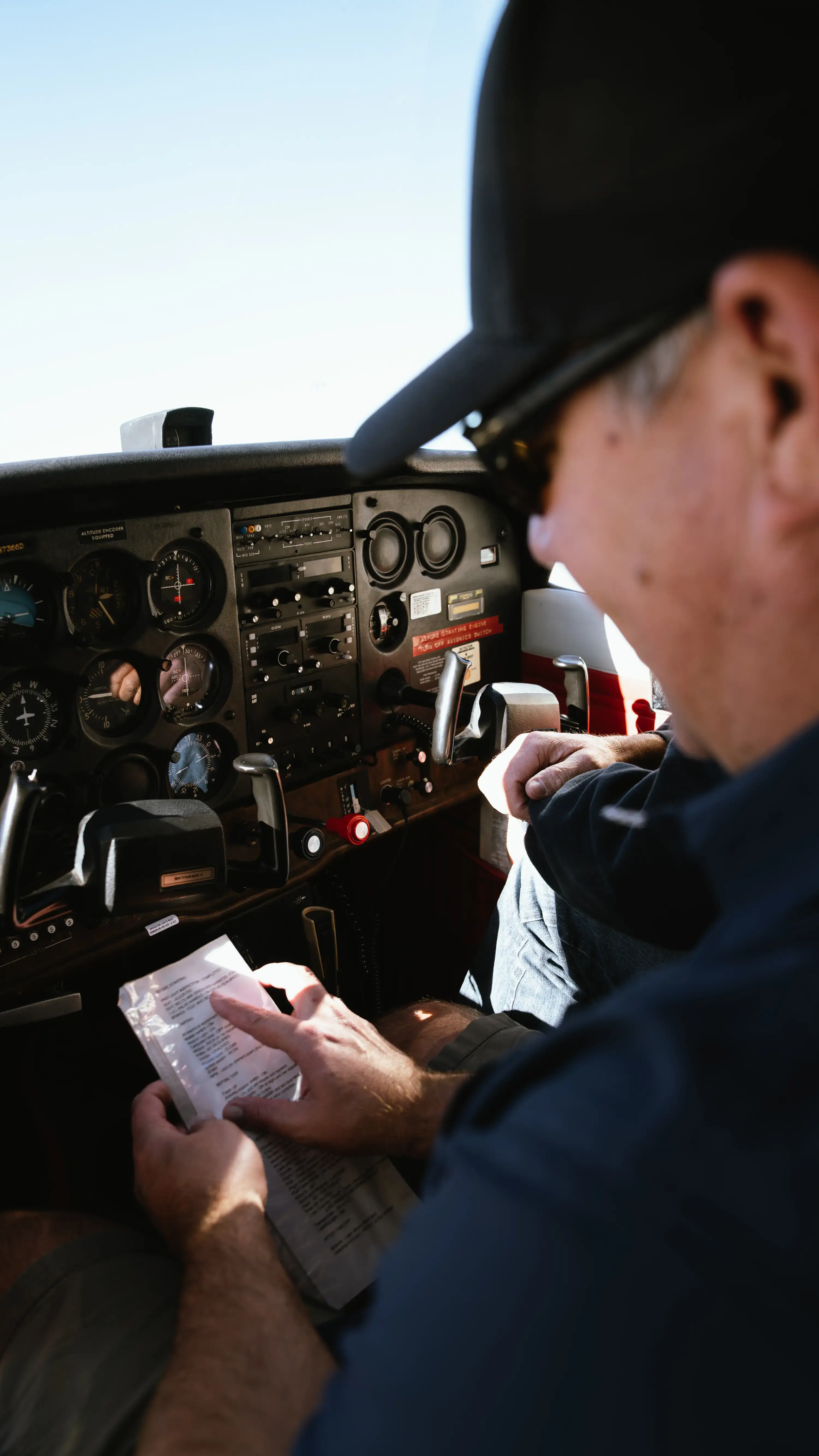
With an ifr rating, those low clouds are no longer a barrier; they are simply a transient phase of your flight plan. Instrument-rated pilots can:
- File an IFR flight plan and receive air traffic control (ATC) separation services.
- Take off in low visibility and climb through the marine layer into the clear, sunny skies above.
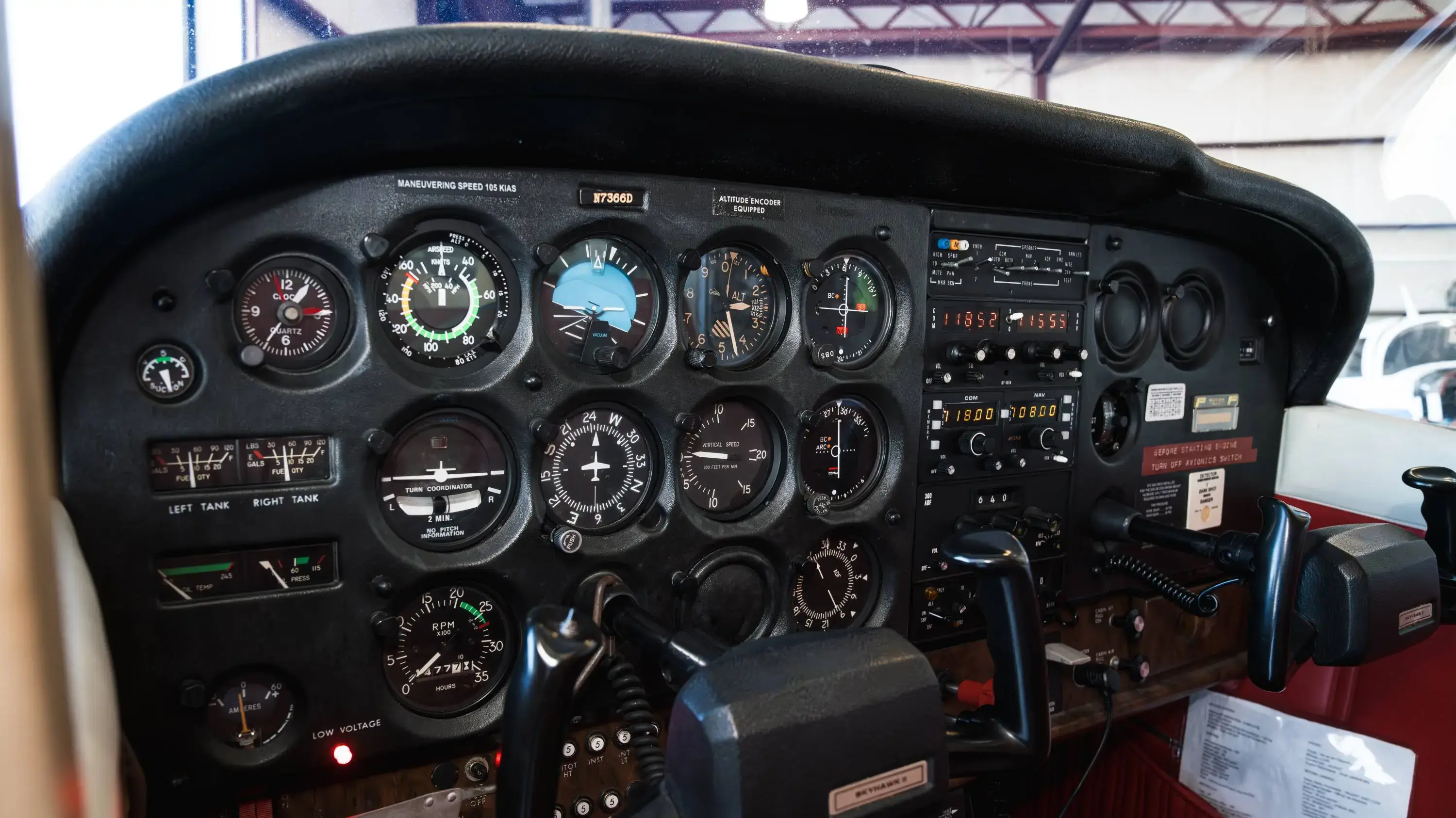
- Fly precision approaches (such as ILS or GPS approaches) to land safely at airports blanketed by fog.
Instead of having your flight plans dictated by the daily coastal weather cycle, you gain the ability to fly when and where you want, safely and legally.
Why Train in the High Desert at Fox Field (KWJF)?
Many pilots assume they should train at coastal airports to experience the marine layer. However, this often leads to frustrating delays and increased costs. Training at MH Aviation in Lancaster, CA offers a smarter approach:
- 300+ Flyable Days a Year: Because Lancaster is located in the High Desert, we are situated above and inland of the typical marine-layer pattern. This means you will rarely have a lesson canceled due to weather, allowing you to fly consistently, maintain your proficiency, and finish your rating faster.
- Strategic Weather Access: When you do want to practice flying in actual instrument conditions (IMC) or fly real-world approaches in the marine layer, the LA Basin is just a short 15-minute flight away. You get the best of both worlds: consistent training weather at home, and easy access to actual IFR conditions when needed.
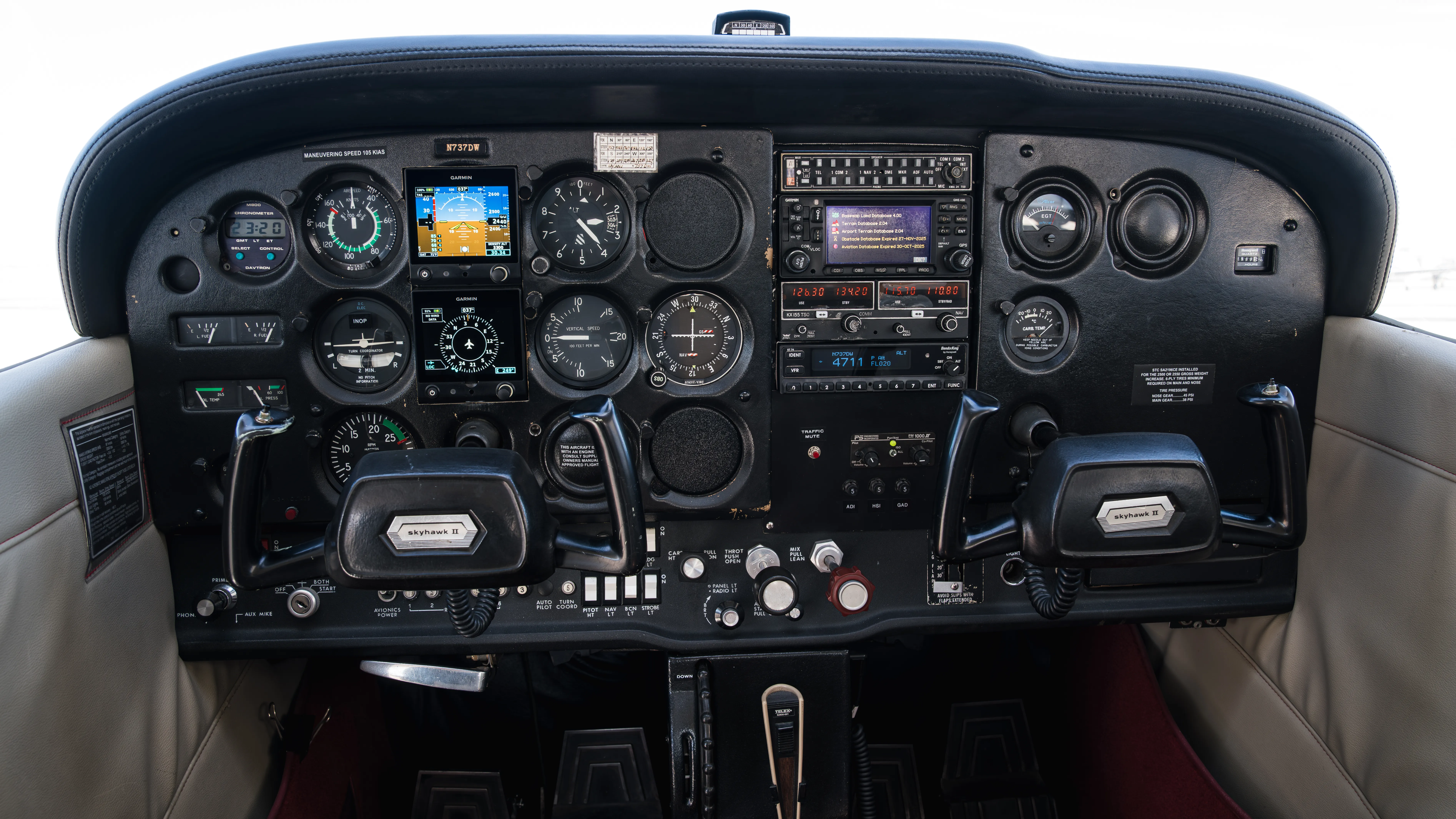
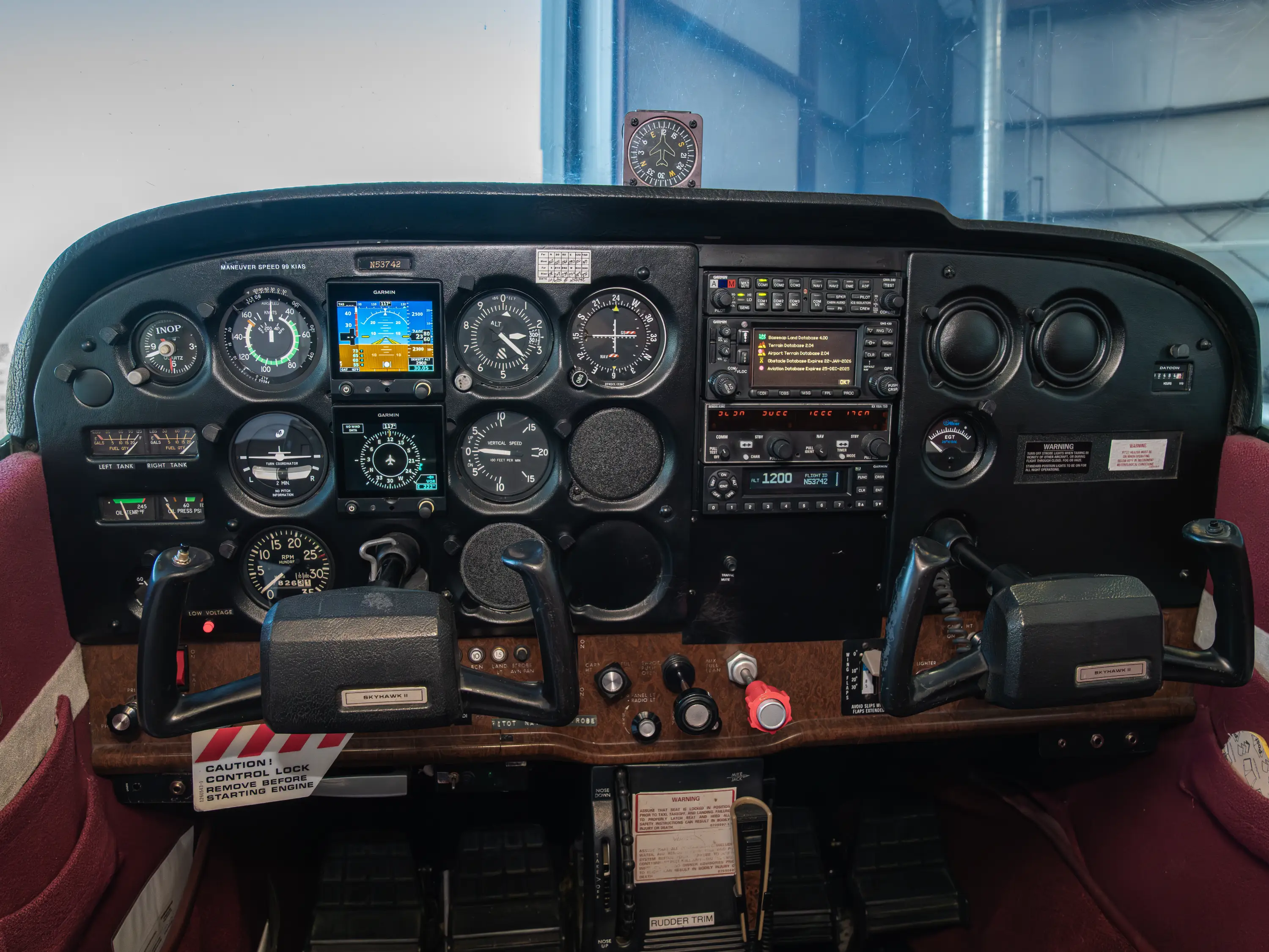
- Towered Airport Experience: Fox Field (KWJF) features published instrument procedures, including GPS and VOR approaches, allowing you to master IFR procedures in an uncongested, professional environment.
Take Control of Your Schedule
An instrument rating is the single most important investment you can make in your safety and utility as a pilot. It lowers your insurance rates, refines your stick-and-rudder skills, and ensures that a low cloud layer won’t ruin your travel plans.
Ready to stop letting the weather dictate your schedule? Check out our Instrument Rating program or view our Flight Training FAQ page to see how we can help you achieve your IFR goals.